Author Archives: John Henry

Kings Valley 400k

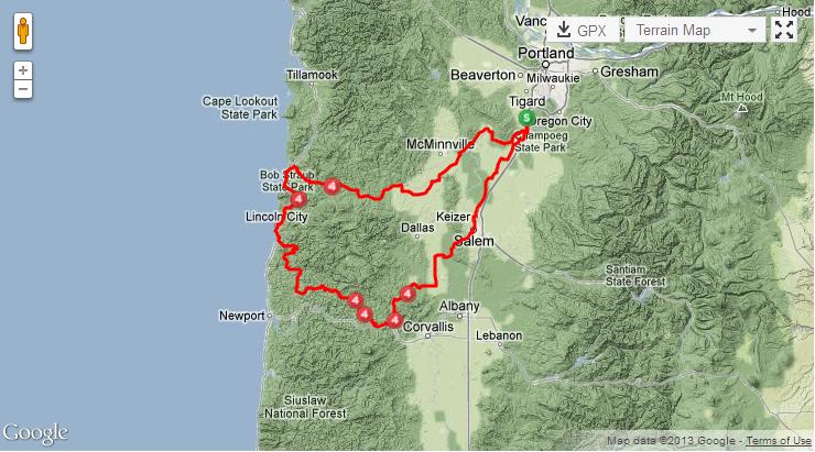
Originally, my training plan was to pre-ride the Kings Valley 400k. However, my coach asked me to rest the weekend I intended to do the pre-ride, and then ride the Brevet with the rest on the day it was scheduled. Working with Susan France, the local RBA, I was able to accomplish this. However, I would need to check in riders who finished behind me. Keith Kohan, who will be my FC508 crew chief agreed to do the pre-ride and check in riders until I arrived.

The brevet was scheduled to start at 4:00 am, so that slow riders would be able to get pass the gravel section after Logsden before dark. I thought the 4:00 am start was a bit early, but I understood the reason. So, at 4:00 am, 22 of us started out from the LaQuinta Hotel in Willsonville. I intentionally held back and rode with some of the slower folks. This to prevent me from riding too hard too early, which has been known to happen. I rode with Lynne and Leslie for the first ten miles. Then, I picked up my speed and started reeling in folks in front of me. I did this until I caught a group of six that included Del and Michael. These are fast riders who always turn in very good times. As such, I knew I was in trouble. So, when we reached Amity, I intentionally stopped to use the restroom (which was needed) and let them continue on without me. As such, I rode the rest of the ride mostly by myself.

My original ride plan was to take it easy as it was a long ride. However, I was feeling very good so I decided to continue to ride at an quicker pace. This decision reinforced a decision I made before the ride which was to eat more and eat more often.

Food I brought with me:

  • Ten ounces of Hammer Gel (consumed all of it)
  • Six baggies of one scoop of Perpeteum / one scoop of HEED (only one bag was left over)
  • GU Brew Electrolyte Drink Tablets
  • Assortment of bars (Think Thin and Clif).

Food I purchased along the route

  • Corn dogs – one in Otis and one in Blogett
  • Two Chicken tacos, both in Monmouth

I decided to consume an ounce of Hammer Gel every half hour (90 calories) and wash it down with a bottle of Gu Drink Tablets – 1/2 bottle per ounce of Gu.   At times would change to a Clif bar instead of the Hammer Gel or drink my liquid food (Per/HEED – 240 cal per bottle).

When I had to stop to refill my water bottles, I tried to find food I could get quickly and consume on the bike, that is where the corn dogs came into play. I tried to limit myself to food that I would eat during The Furance Creek 508 but I did have some exceptions. The only food I did not eat on the bike were the tacos.

This plan worked well for most of the day, but when it got hot in the afternoon, I ran into problems with the power bars and liquid food.  When it was hot, I could only eat the Hammer Gel washed down with Gu Water.

In the end, I managed to eat more calories per hour than I had in the past.

The bottom line is that I finished my fastest 400k ever, and by over 2 1/2 hours. I am very pleased.

Distance 255.0
Elevation Gain 8,247 feet
Moving Time 16:18:37
Temperature 70°F
Speed 15.6 mi/h 36.5 mi/h
Cadence 72
Heartrate 116 bpm 143 bpm
Power 143 Watts 662 Watts
Elapsed Time 17:49:53
Paused Time 1:31:16


Deschutes River Valley Time Trial Festival

“A festival or gala is usually a happy, fun event, usually and ordinarily staged by a local community, which centers on and celebrates some unique aspect of that community and the Festival.” from wikipedia

The Deschutes River Valley Time Trail Festival was not a happy, fun event for me this year. It was character building.

The DRVTT consists of three stages. The first is a 25 mile loop that climbs up out of the town of Maupin on Saturday. This is a steep climb of about 800 feet of elevation gain to a plateau. It is mainly flat until you reached the descent into Tygh Valley where you enjoy another flat section before turning onto to road to Shearers Bridge. This road has a couple of nasty bumps before dropping you down to the Deschutes River. There you return to Maupin on the flat river access road.

My time was a very respectable (for me) 1:22:00, beating my best time of 1:23:09 by over a minute. I attached the first hill very hard. But I can never claim to be a climber and the fellow who started a minute behind me caught me very, very quickly. No worries, I expected that. I just kept working hard. Before the top of the climb, I did manage to catch and pass some of the women who started before me. However, just before the top, my old Race Across Oregon teammate, Mark Newsome, caught and passed me. Since we were at the top, I managed to keep close to him as we crossed the plateau. Then, just before the descent, I passed him and started flying down toward Tygh Valley. Then a strong cross wind hit me and my bike began to shimmy.

A bike shimmy is never pleasant. It has caused me to panic. But not this time. I pressed my right leg against the top tube, loosely gripped the handlebars and let the bike slow down. The shimmy lessened, but it stayed with me all of the way down the hill. I was disappointed that I could not pass the two riders in front of me during the descent. At the bottom of the hill and during the roll out, I started peddling again, but this only caused the shimmy to worsen. The only cure was to let the speed drop until the shimmy stop and then start racing again.

With the bike under control again, I peddled hard, passing the two riders in front of me before the turn to Shearers Bridge. I was a bit surprised that Mark was not catching me as he is faster on the flats then I. I was watching him in my mirror but did not see him until the last short climb before the descent to the Deschutes River. He was coming hard, but I had enough of a lead on him to stay in front and I pulled away on the descent.

The last portion of the course was along the river access road and when I turned onto it, I found that I would be fighting a fierce head wind all of the way back. I tried not to let it bother me, to keep my hard work up, but the peddling was difficult. More of the faster riders who started behind be began to pass me, and I tried to stay with them, but each slowly pulled away from me. Again, I expected to see Mark, but I never did.

After crossing the finishing line, I did a short cool down and then returned. There I ran into Mark who told me that his bike shimmied too, but this was a new experience for him and it affected his confidence. As such, he took the descents slowly, which explains why he never caught me. Later, in talking with other racers, many of them experienced bike shimmy on the descent into Tygh Valley. Mark and I were not the only ones.

After the first stage, I took a shower, ate lunch and then took a nap before the second stage that afternoon.

The second stage is only 8.1 miles long, but climbs nearly 2,000 feet. And it is all climbing; there is no relief, not downhills at all. The winds had picked up in the afternoon, and I knew that this would be a tough stage. And it was. I started hard, but at a level of exertion that I though I could maintain for the entire eight miles. I did pretty well holding my power, but nearing the top, the winds really began to push the bike around. As such, my effort lessen and my power output dropped. I finished in 51:44, over seven minutes slower than last year, but at nearly the same power output. Blame it on the wind.

The third stage began early Sunday morning, and it is a monster of a stage – 23 miles up Bakeoven Road to the summit and then 23 miles back down to the river. The elevation gain is over 3,500 feet.

After two stages, I was not in last place in my division. I was in next to last place with a 1:27 cushion. However, 1:27 on a 46 mile stage is nothing, but I thought I might be able to stay with him, to shadow him and not finish last in my division. That was my hope.

I started the stage two minuted behind my rival. During the steep portion of the climb out of the Deschutes River Valley, I kept him in sight. Once the grade lessened, I could see him up ahead, but he seemed to be pulling away. I worked as hard as I could, but he slowly pulled away and out of sight. None the less, I kept up my effort all of the long way to the summit of Bake Oven Road. As I approached the turn around, I kept hoping not to see my rival. I wanted to be very close to the turn around before I saw him. Then, shortly before the turn around, I saw him. I marked the location and glanced at my watch so I would know just how many seconds/minutes I was behind him.

The turn around did not go well for me. The road is narrow and three of us were attempting the turn at the same time. However, it was not a long delay before I got myself turned around. Then the head wind hit me. And it was strong. Last year I flew down Bakeoven Road, but this was not to be this year. I worked my way to the spot where I had seen my rival, and saw that I was seven minutes behind him! With the two minutes that he started in front of my and the 1:27 cushion I had, I realized that he had a big lead on me.

I thought I could make it up, but the wind worked against me. Instead of being able to recover during the descent, I found myself working hard in an attempt to catch my rival. It was not to be. I soon lost power and it became evident to me that I would not catch him. With the strong head wind, I found myself just working to get down the hill. I was no longer racing, but just trying to finish. when I crossed the finishing line, 3:30:35 had elapse. This was almost an hour longer that the year before and I was told I looked like death warmed over when I finished.

I was disappointed in my effort and the result, but some days you have fun, and some days fun is harder to have.
SBC Wednesday Night Ride

A perfect evening for a bike ride.

Six of us rode out to climb Hibbard the hard way. This is one short, steep hill and three of the group rode it for the first time. Congratulations to Chris, Lori and Mike!

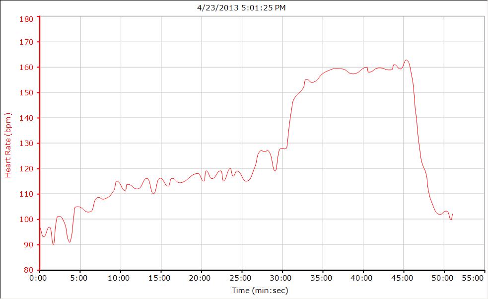
Time Trial on a Stationary Bicycle

I had to work late so I could not do my workout on my training bike at home. Coach wanted me to do a TT intensity ride. What to do?

Simple, slip down to the PCC workout room and ride one of their stationary bikes.

30 minute warmup
15 minutes at TT Intensity
5 minute cool down
Zero average speed!

Last Day in Julian

A short but tough day of riding. This route is the reverse of a portion of the Mount Laguna Route. We rode out to Lake Cuyamaca, climbing all of the way,. and then took Engineers Road. This involved more climbing, a steep downhill and then more climbing back to Julian.

This ride ended our Vino and Velo camp, and we are very sad to leave Julian. There are lots more roads that we would love to ride, but back to Oregon we must go.

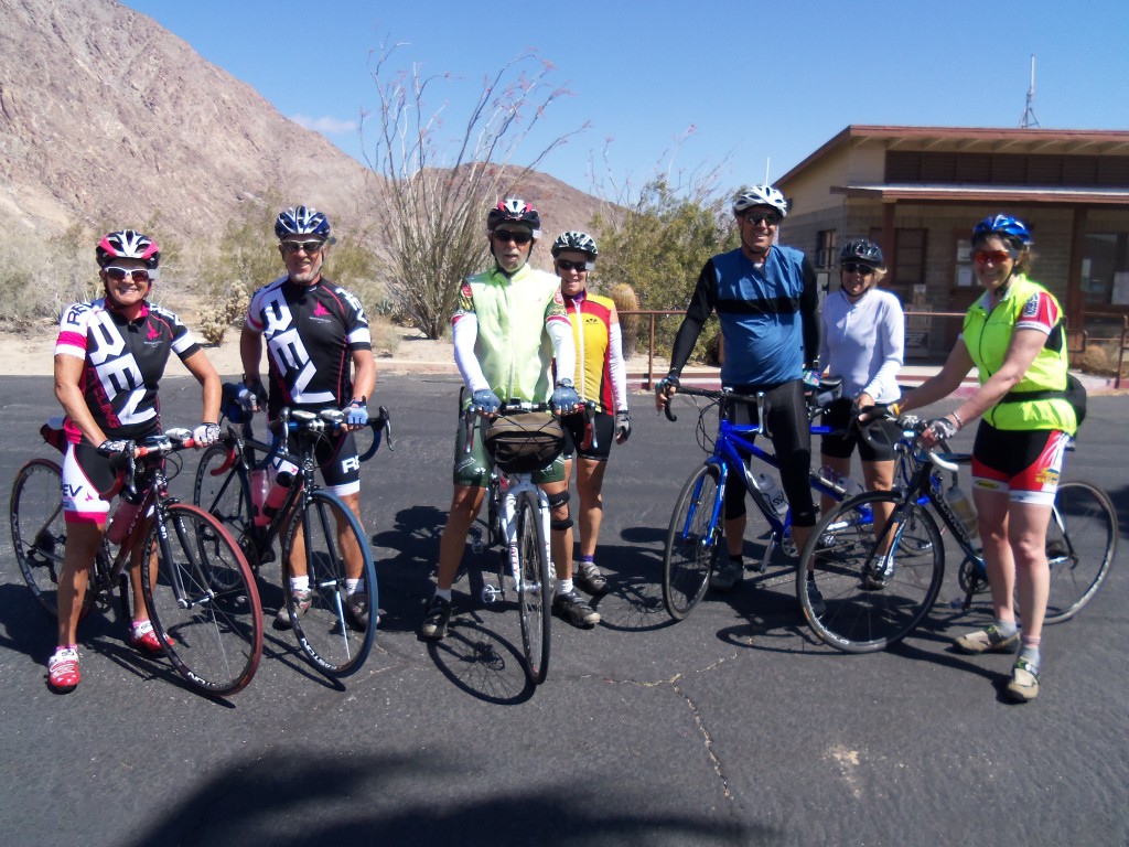
Happy Campers

Look west from Engineers Road.

Lake Henshaw via Mesa Grande Road

Our last full day of riding.

We woke up to another day in paradise. The sky was clear and we were expecting temperatures in the low 70°s.

The planned route was 70 miles and over 7,000 feet of gain to Mount Palomar and back. To be honest, Joanne and I were not up to that. So instead we rode to Lake Henshaw and back – 46 miles with 4,000 feet of gain. That was a big enough bit of the apple for us.

We left Julian on State Route 78 and descented 1,200 feet down to Santa Ysabel. It was fast and it was cold. It was fun. In Santa Ysabel, we turned onto SR 79 and then onto Mesa Grande Road, a gorgeous road to ride!

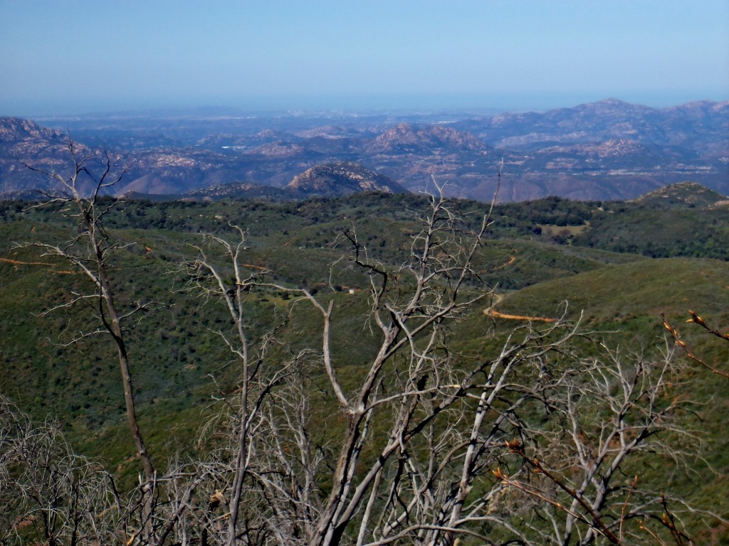
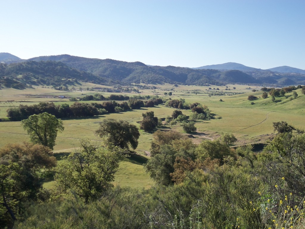
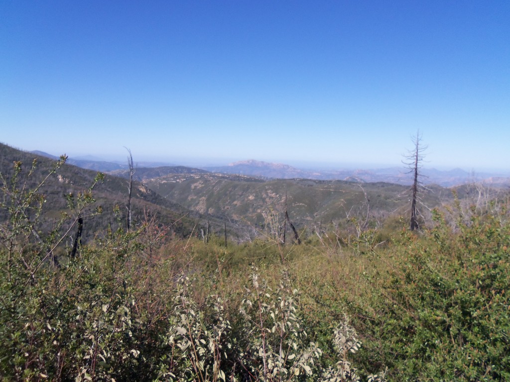
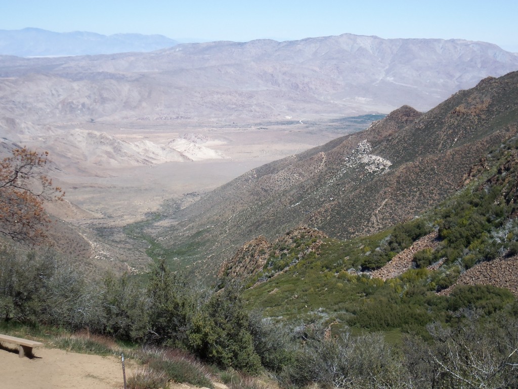
The view from Mesa Grande Road

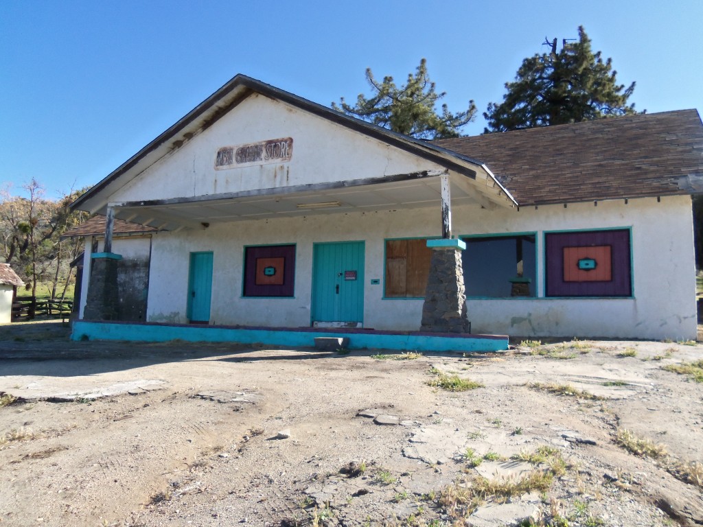
The old Mesa Grande Store

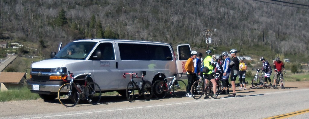
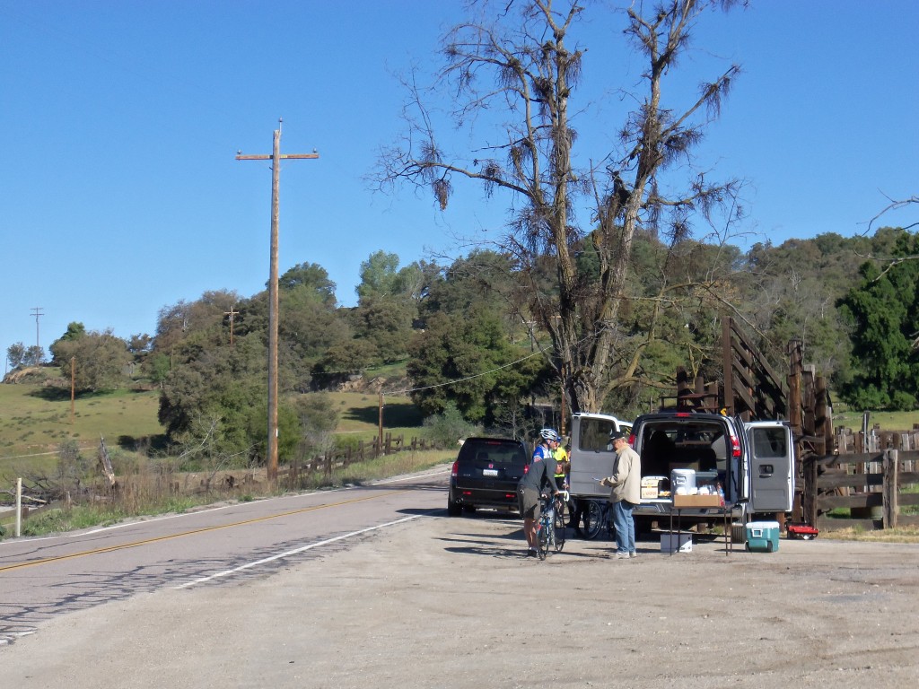
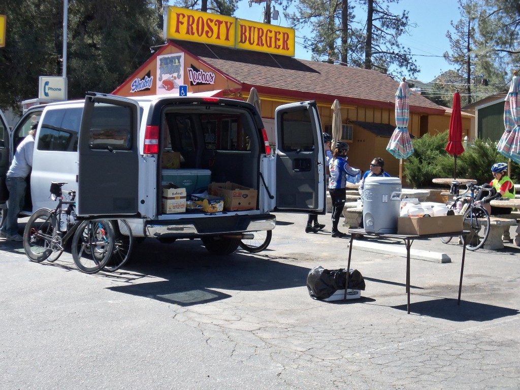
Soon, we reach the old Mesa Grande store and our AdventureCORPS support van. That is where I discovered that I had forgotten my water bottles. Joanne came to my rescue and lent me one of hers.

AdventureCORPS Support Van

We now continued on to Lake Henshaw where we turned around to retrace our route. Joanne and some others opted for the flatter route back along SR 79, but I went for the return on Mesa Grande Road – it is just too pretty not to ride even if there is some difficult climbing involved.

I met back up with Joanne at Santa Ysabel where she had been waiting for my for thirty minutes. Yes, I took the scenic but slower route. After a pie of pie at the Julian Pie Company (in Santa Ysabel) to fuel our six mile climb up to Julian, we reluctantly left our table in the sun and climbed onto our bikes. The climb was long. The climb was a bit hard. The climb took us nearly an hour!

Back in Julian we showered and then walked down to the local espresso bar where we sat outside in the sun and cheered or co-campers as the finished their rides.

Mount Laguna

This morning California fulfilled it’s promise of sunny skies and warm temperatures.

Today’s ride was wondrous. At 7:45 this morning, 15 of us rode as a group out of Julian and onto the back roads south west of town. Joanne and I rode along side of our new friends marveling at the pastoral scenery around us. The group finally broke us as we climbed Engineers Road which had some very steep pitches. I took it very easy heeding my coaches advice – ride at a level where you can talk, but not sing. Little does he know I can not sing even when standing still. We climbed up high and were rewarded with views to the west that would have included the Pacific Ocean, if there not been no marine fog.

Looking west from Engineers Road

Climbing Engineers Road in the sun.

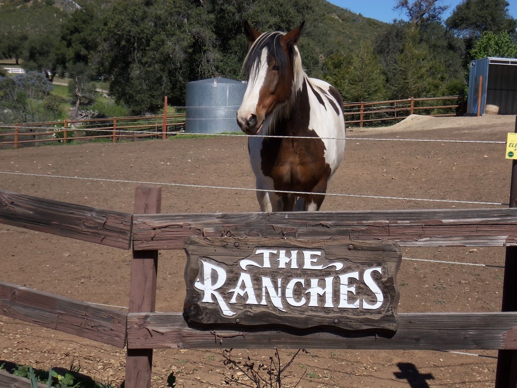
Soon, we reached Lake Cuyamaca where we came upon the big, white AdventureCORPS van. Several Fig Newtons later, Joanne and I were riding along on a very lightly traveled road heading toward Pine Valley. We passed many racnches and we stopped to visit a friendly inhabitant.

A ranch inhabitat

In Pine Valley, the big, white AdventureCORPS van resupplied us in preparation of the big climb of the day to the summit of Mount Laguna.

The AdventureCORPS van in Pine Valley.

The climb to Mount Laguna was eleven miles long and we gained over 2,200 feet. The grade was not too steep so that we could keep a good rhythm. We rode with three cheerful French Canadians who kept us company as we climbed. Once we reached the top, we stoped at the small store (‘No Bikes on the Porch’ read the signs) and were looking forward to our last 20 miles back to Julian. There may not have been any bikes on the porch, but there sure were hikers everywhere.

As we began our descent, the views opened up causing me to stop several times to take them in and record them with photographs.

Looking down onto the Great Southern Overland Stage Route Road

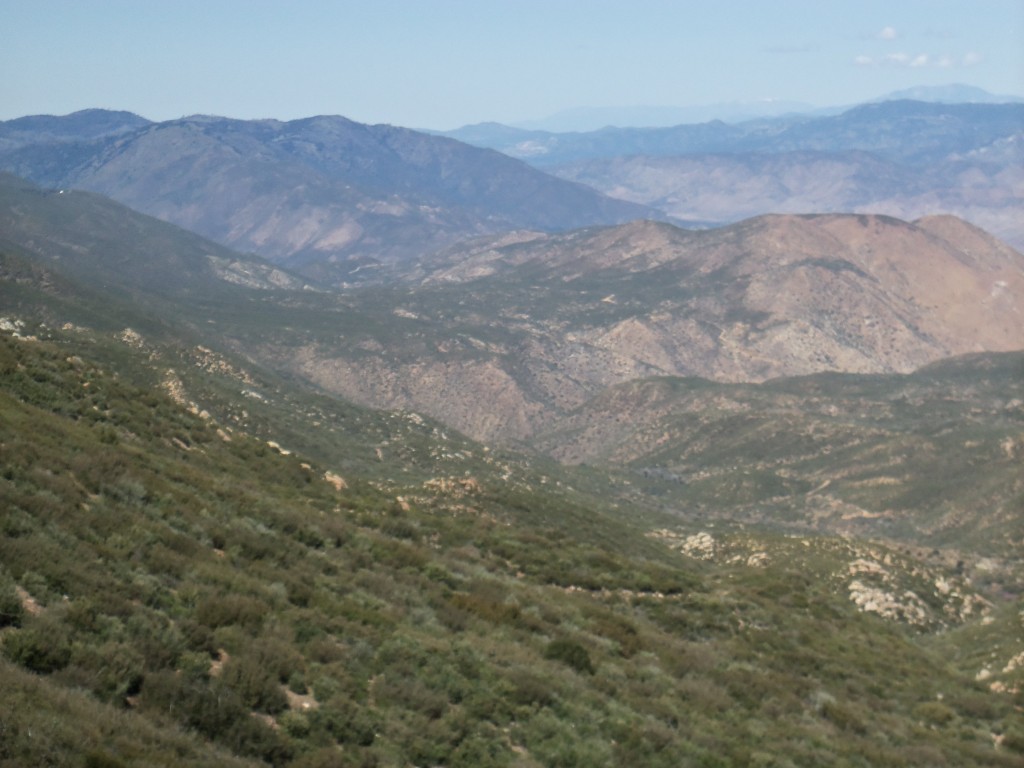
Looking north from Mount Laguna

We finished the ride with 62 miles and over 6,000 feet of gain.

Yaqui Pass and Borrego Springs

Woke up to clouds, wet roads and 34°. As such, this would be day two of altering the route.

We drove down to ‘scissors’, the intersection of C78, San Felipe Rd and the Great Southern Overland Stage Road. Our new route was to ride to Yaqui Pass, Borrego Springs, climb Montezuma Grade, Ranchita and return on San Felipe Rd. One problem, the wind. It was so windy that most of us decided to drive on down to the base of Yaqui Pass and begin riding there. Joanne and I decided not to climb Montezuma due to the wind (been there, done that and fell down).

We started up Yaqui Pass with a powerful tail wind at our back. We hardly had to peddle. But when we crested the summit and began our descent, the tail wind turned into a strong cross wind. While it was as strong as yesterday, it was interesting descending at speed with the wind blowing the bikes around. However, once we reached the valley floor, the wind lessen. That was strange as we could see a wind blown dust/sand storm on the far side of the valley.

We rode into Borrego Springs and then headed out to the north following a route that the locals showed us last year. Then, just in front of us, we found the very same locals. We joined them as they wandered around Borrego Spings enjoing good company and windy roads.

Joanne and the Borrego Springs Locals

After a quick bite to eat, Joanne and I returned to our van via Yaqui Pass. This is a long, even climb that today was complicated with a strong tail wind. I wanted to ride it hard, but my coach wants me to continue my “base” phase of training and limited me to an average power output of just 178 watts. I was a tad bit over.

Yaqui Pass Climb Statistics

6.8 mi/h 143 bpm 187 Watts 42:09 Climbing Time

The descent back to the van was in a cross wind, so I stopped for a couple of photos.

Looking south from Yaqui Pass

Looking north from Yaqui Pass

I had intended to ride up the Banner Grade beginning from the Banner Store. Joanne dropped me off and I started climbing. I was feeling good and climbing well. The wind would occasionally hit me head on, but nothing too strong to cause me problems.

Then my front tire went flat. A careful inspection found two thorns, one the cause of the flat. This should have been an easy fix, but my CO2 failed me and I did not bring a second cartridge. I flagged down a pickup truck and the drive was nice enough to deliver me to my door.

Shelter Valley

Shelter Valley is not named well.

Instead of the planned ride up to and back from Mount Laguna, we did something else. Perhaps it had to do with the cold temperatures. Perhaps it was the fog. Perhaps it was the high winds. No, it was all three. So instead to climbing into more fog, cold and wind, we drove down to Shelter Valley and did a short out and back in the sun. Yes, it was warm, but the wind was still something to contend with.

We parked our cars in front of the Shelter Valley Community Center and headed southeast on the Great Southern Overland Stage Road. The wind was blowing strong, but it was not ‘damn this is a strong wind’ strong. And after all, it was a tail wind. Joanne and I rode together, sometimes right next to each other and sometimes one would get up ahead. This would happen when I would stop for a photo.

Mount Laguna from the Great Southern Overland Stage Road

After descending Campbell Grade, the tailwind was really strong. I was in my biggest gear and it was not big enough. I knew I would pay for this on the return, but I was having great fun!

Joanne and I stopped at Vallecito Stage Station County Park for a bit of a rest. It seemed the longer we stayed, the stronger the winds became. We were 15 miles from Shelter Valley and we knew that we would have to fight the head wind on the way back so we decided that we should begin our return journey.

Mount Laguna from Vallecito Stage Station County Park

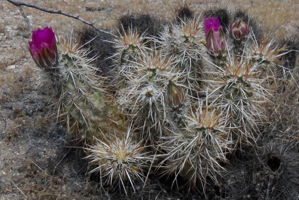
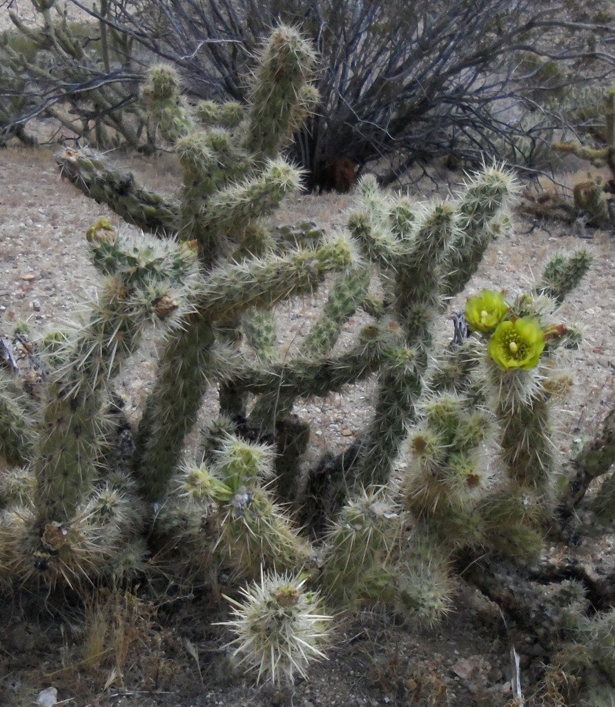
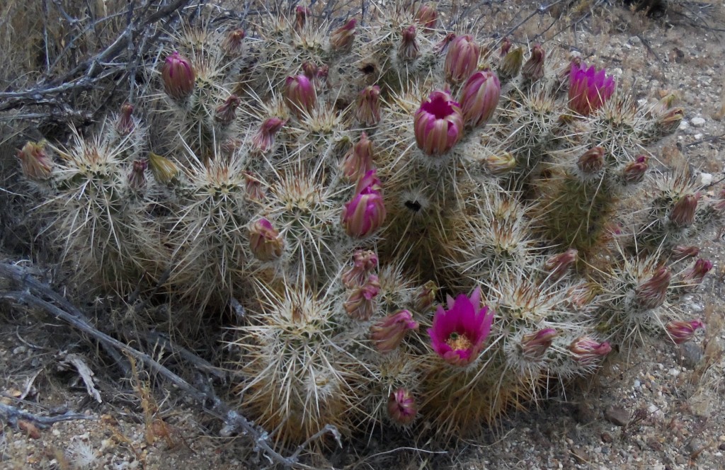
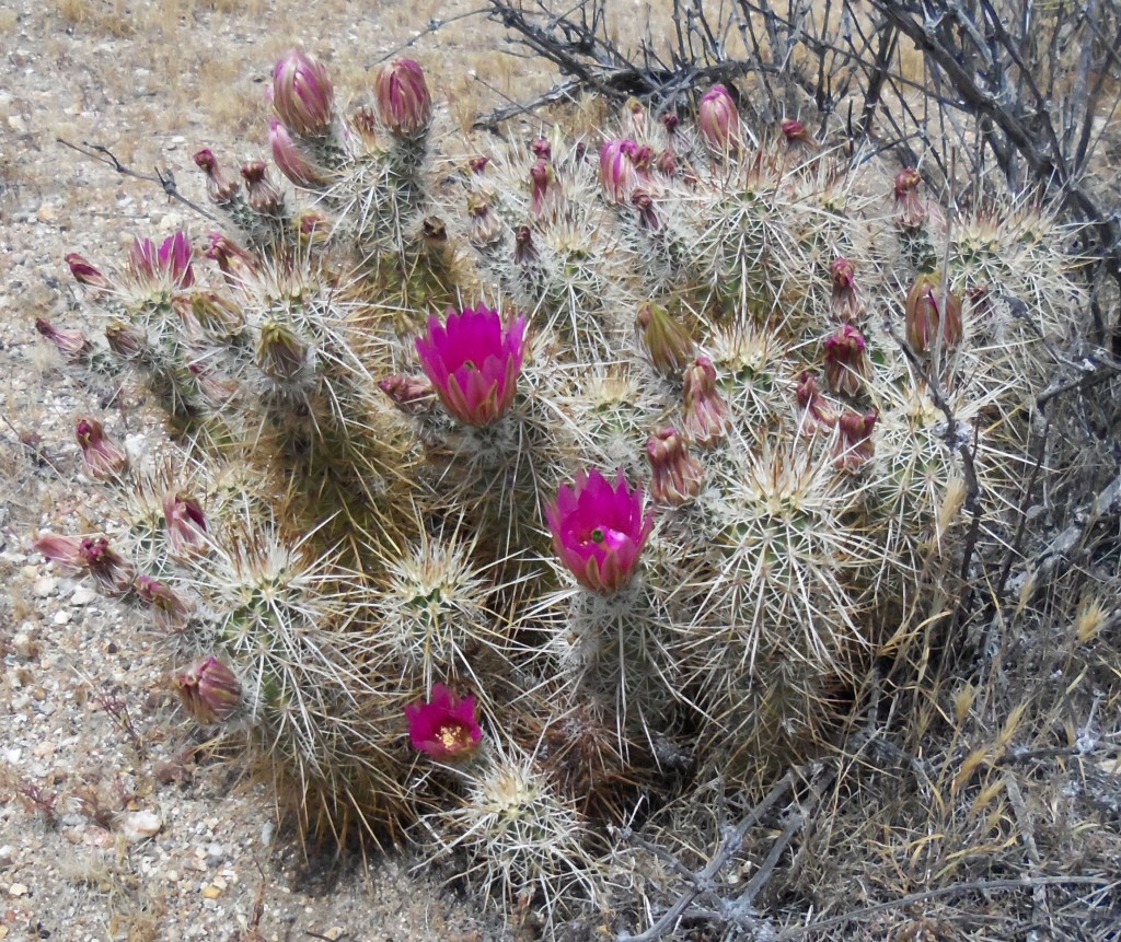
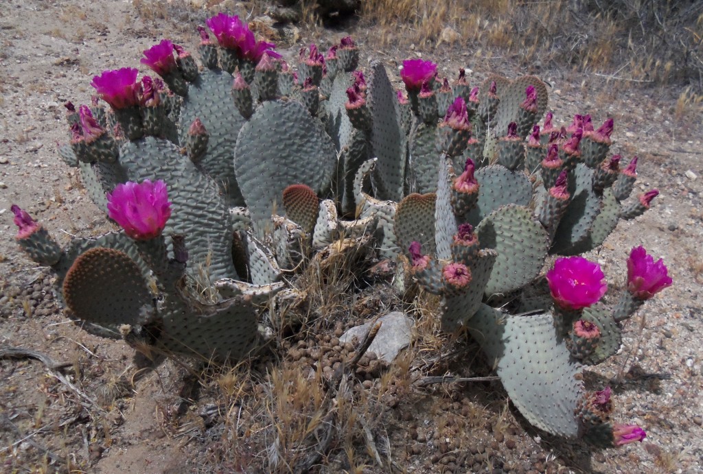
We turned back into the wind and maintained about 10 miles per hour into the wind. Along the way, we say a Coyote and the blooms on the cactus.


Actually, the return was not that difficult. We even had some tail wind. But the last mile was epic. Very strong, perhaps averaging 30 mph, side winds made our forward progress very difficult. We slowly inched our way forward fighting the side wind that was trying to knock us down. We were very pleased to see our van come into view!

Back at the van, the wind had escalated to ‘this is very strong wind, way too strong to ride in’! And and were in Shelter Valley. I guess it could have been better named.

Later, a clerk in one of the stores in Julian told us that the original name of Shelter Valley was Earthquake Valley. It seems it is easier to sell lots and homes in Shelter Valley.

It has been a bad week for me…

After my long ride on Saturday, April 6, I took Sunday off expect for some recovery work at the gym.

On Monday, as I was preparing to go to work, I had a migraine attack. I went back to bed and did nothing the rest of the day. On Tuesday, my headache continued and I also developed a sore throat. I spent the day in bed feeling worst as the day wore on. Wednesday was another bad day, that got worst when another migraine hit me. I did manage to make it into work on Thursday and Friday, but I was not feeling well enough to work out.

Now, as I write this, I am in Julian, CA begining a week long cycling vacation. My throat is better but still sore and my headaches are gone. I am looking forward to a good ride tomorrow – 62 miles with 6000 feet of gain, but the weather could be a factor. Winds with gusts up to 40 mph are forecast for tomorrow.